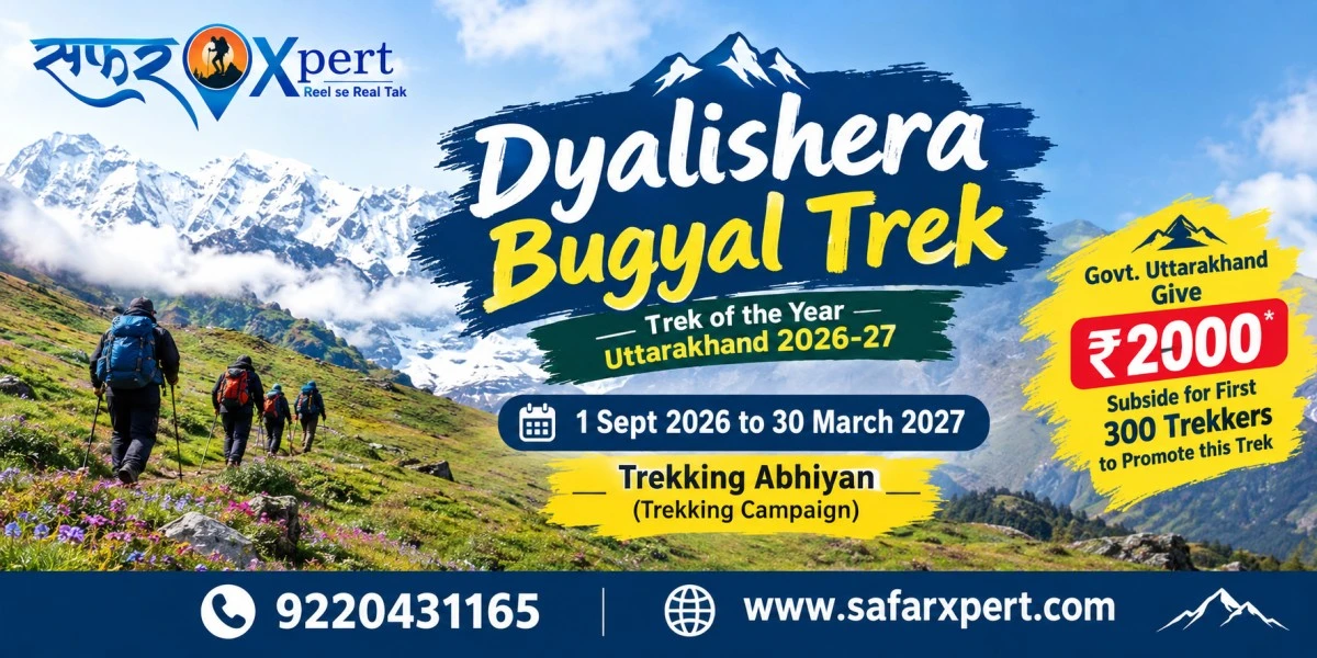
Dyalishera Trek 2026, also known as Dyali Sera Trek, Dhalishera Trek, or Dhalishera Bugyal Trek, is a scenic high-altitude trekking route in Chamoli, Uttarakhand. Recognized as Uttarakhand’s Trek of the Year 2026, Dyalishera is gaining attention for its alpine meadows, Himalayan landscapes, forests and panoramic mountain views.
Known locally as the “Tilismi Trek” (Mystical Trek), the route is being promoted through a special trekking campaign running from 1 September 2026 to 30 March 2027. The campaign also includes a ₹2,000 subsidy for the first 300 trekkers, making the 2026–27 season a notable time to explore this emerging Himalayan trail.
Dyalishera Bugyal Trek — Trek of the Year 2026
Explore the Mystical Himalayan Trail of Uttarakhand.
This complete Dyalishera Trek 2026–27 guide covers the route, itinerary, distance, altitude, difficulty, starting point, best time to visit and how to reach Dyalishera.
What Is Dyalishera Trek?
Dyalishera Trek is a high-altitude trekking route in the Jyotirmath (Joshimath) area of Chamoli district, Uttarakhand.
The main attraction is Dyalishera Bugyal, a high Himalayan meadow surrounded by mountain landscapes.
The meadow is generally reported at around 3,600–3,740 metres, depending on the point or route description being referred to. Some recent trekking operators list the highest point around 3,740 metres / 12,270 feet.
The route combines:
- Himalayan villages
- Forest trails
- Oak, deodar and rhododendron landscapes
- Open grasslands
- High-altitude bugyal
- Mountain ridges
- Hanuman Tal
- Views toward the higher Garhwal Himalayas
- Connections toward the Kuari Pass and Gorson Bugyal region
The route has also been described locally as the Talisimi/Tilismi Trek, reflecting its unusual and magical landscape.
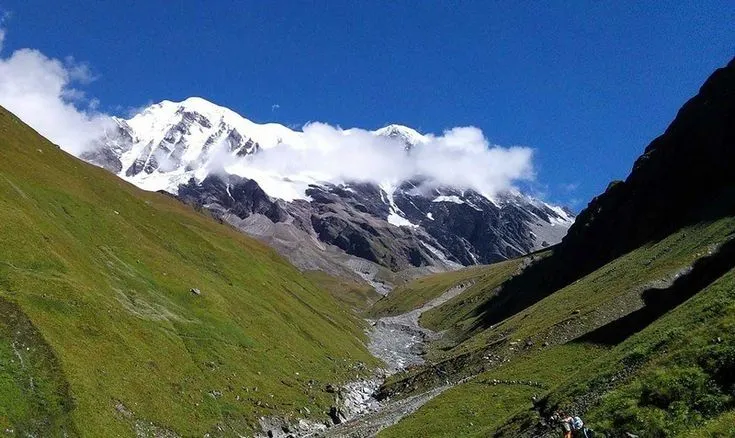
Dyalishera Trek Location
Dyalishera Trek is located in Chamoli district of Uttarakhand, in the Jyotirmath/Joshimath area of the Garhwal Himalayas.
The wider region is already known for destinations such as:
- Joshimath
- Auli
- Kuari Pass
- Gorson Bugyal
- Badrinath
- Valley of Flowers
- Hemkund Sahib
- Pangarchulla region
This makes Dyalishera interesting because it can potentially become part of a larger trekking circuit around the Joshimath–Auli–Kuari Pass landscape.
A route connecting Dyal(i) Bugyal, Dubra Valley, Kuari Pass, Gorson Bugyal and Auli has been proposed as a possible trekking circuit.
Dyalishera Bugyal Height
The height of Dyalishera is reported differently across current sources.
The Dyalishera Bugyal area is generally described at approximately 3,600 metres, while several recent trek descriptions give approximately 3,740 metres / 12,270 feet for the high point.
For a trekking website, the safest way to publish this is:
Maximum altitude: approximately 3,600–3,740 metres (around 11,800–12,270 feet), depending on the itinerary and highest point reached.
This is better than publishing an unsupported single number.
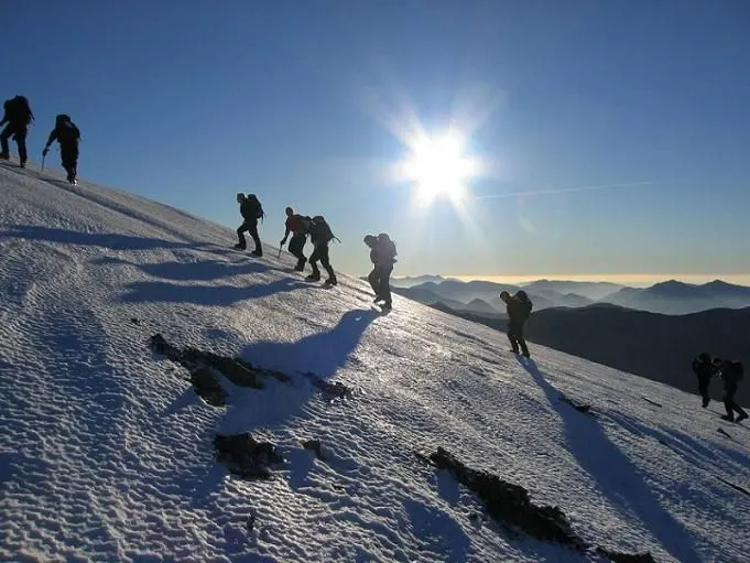
Dyalishera Trek Distance
The total distance depends on which version of the Dyalishera route an operator follows.
This is important because the route is newly being promoted and different operators are currently publishing different itineraries.
The government-reported six-day route describes stages including:
- Joshimath/Karchon to Dhurkund
- Dhurkund to Dubra Valley/Dyal(i) Bugyal
- Exploration around Dyal(i) Bugyal
- Dyal(i) Bugyal to Gailghar
- Gailghar to Tali
- Tali to Kuari Pass, Gorson Bugyal and Auli
The reported walking stages are approximately 3 km, 7 km, 5 km and subsequent stages, with the complete six-day circuit varying according to the exact route followed.
Some current commercial itineraries describe approximately 20–26 km of trekking, while others describe longer circuits.
Important
Do not publish one exact total distance as a universal figure.
Instead, when booking, ask the operator for:
- Exact starting village
- Exact camping locations
- Daily walking distance
- Total walking distance
- Maximum altitude
- Whether Kuari Pass is included
- Whether Gorson Bugyal and Auli are included
This makes your information more trustworthy than simply copying one operator’s itinerary.
Dyalishera Trek Duration
Dyalishera Trek Duration
The full route promoted by Uttarakhand tourism-related reporting is a six-day trek/circuit.
A typical trip can therefore be planned as:
Day 1: Travel to Joshimath/Karchon and trek to Dhurkund
Day 2: Dhurkund → Dubra Valley → Dyalishera Bugyal
Day 3: Explore Dyalishera Bugyal
Day 4: Dyalishera → Gailghar
Day 5: Gailghar → Tali
Day 6: Tali → Kuari Pass → Gorson Bugyal → Auli
The exact camping points can change depending on the operator and route conditions.
Dyalishera Trek Route
The most important route information currently reported for the promoted circuit is:
Joshimath → Karchon → Dhurkund → Dubra Valley → Dyalishera Bugyal → Gailghar → Tali → Kuari Pass → Gorson Bugyal → Auli
This route passes through a changing Himalayan landscape.
The first section begins around villages and forest areas.
As you climb higher, the landscape opens into meadows.
At Dyalishera Bugyal, the forest gives way to a wider high-altitude landscape.
The later section connects toward the Kuari Pass and Gorson Bugyal–Auli region, giving the trek a much larger Himalayan experience than a simple out-and-back meadow trek.
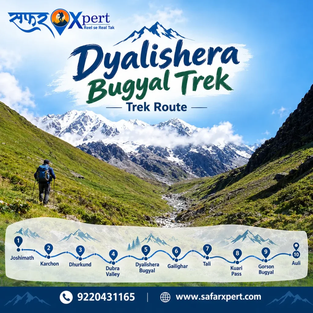
Dyalishera Trek Itinerary: 6 Days
Day 1: Joshimath – Karchon – Dhurkund
The journey begins from the Joshimath area.
From Joshimath, the route moves toward Karchon, the reported base village for this version of the trek.
The government-reported itinerary mentions around 25 km of road travel followed by approximately 3 km of trekking to reach the first camping area at Dhurkund.
The trail begins through the lower Himalayan landscape before gradually moving toward forest and meadow terrain.
Night stay: Dhurkund
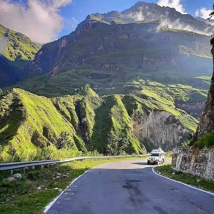
Day 2: Dhurkund – Dubra Valley – Dyalishera Bugyal
This is where the landscape starts to change.
The trail climbs from Dhurkund toward Dubra Valley and Dyalishera Bugyal.
The reported walking distance for this section is around 7 km.
As the altitude increases, the forests begin to open and the wide Himalayan meadows become the main attraction.
By the end of the day, trekkers reach the Dyalishera Bugyal area.
Night stay: Dyalishera area/camp
Day 3: Explore Dyalishera Bugyal
Day three is designed around the destination itself rather than a long transfer.
This is the time to walk across the meadow, photograph the landscape and enjoy the Himalayan views.
The area is also associated with Hanuman Tal, which is described by current trek sources as a nearby high-altitude lake.
The landscape is especially attractive because the route combines:
forest + meadow + mountain views + high-altitude lake
This is also the best day to keep the pace slow and allow your body to adjust to the altitude.
Day 4: Dyalishera Bugyal – Gailghar
The trek continues from Dyalishera toward Gailghar.
The reported distance for this stage is approximately 5 km.
The landscape changes again as the route moves through meadow and forest sections.
This part of the trek is less about reaching a single famous viewpoint and more about experiencing the changing Himalayan terrain.
Night stay: Gailghar
Day 5: Gailghar – Tali
The fifth day takes trekkers through a mix of deodar and rhododendron forest and high-altitude meadow landscapes.
The route becomes more adventurous as it moves toward Tali and the higher trekking region.
This section prepares you for the final day’s connection toward Kuari Pass and Gorson Bugyal.
Night stay: Tali
Day 6: Tali – Kuari Pass – Gorson Bugyal – Auli
The final day is one of the major highlights of the circuit.
The trail moves from Tali toward Kuari Pass and Gorson Bugyal before finishing around Auli.
Kuari Pass is already one of the recognised trekking areas of the Garhwal Himalayas.
The route therefore ends with a much wider mountain experience rather than simply returning to the starting village.
From Auli, travellers can continue their journey by road.
Dyalishera Trek Difficulty
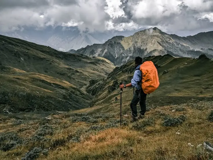
The Dyalishera Trek should not be treated as a casual sightseeing walk.
The route reaches approximately 3,600–3,740 metres, so altitude becomes an important factor.
Current commercial descriptions generally place the route around easy to moderate/moderate, but difficulty depends on the chosen itinerary, weather, snow conditions and daily distance.
Who can do the trek?
It can suit:
- First-time Himalayan trekkers with good fitness
- Regular hikers
- Experienced trekkers
- Nature and photography enthusiasts
- Travellers looking for less-crowded Himalayan routes
You should be prepared for:
- Long walking days
- Uphill sections
- Cold temperatures
- Changing mountain weather
- High-altitude conditions
- Limited facilities
- Basic camping conditions
A basic fitness routine before the trek is strongly recommended.
Best Time for Dyalishera Trek
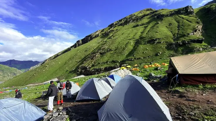
Because Dyalishera is a high-altitude meadow trek, the experience changes significantly with the season.
Spring
Spring can bring fresh greenery and blooming rhododendrons in the forest areas.
It is a good period for trekkers who enjoy forests, flowers and mild mountain conditions, subject to route access.
Summer
Summer generally offers greener landscapes and better access to many Himalayan trekking routes.
The meadow can be especially attractive during the greener months.
Monsoon
Monsoon requires caution.
Heavy rain can make mountain roads and trails difficult, increase the risk of slippery sections and affect travel plans.
Check local weather and route conditions before travelling.
Autumn
September and October can offer clear mountain views and fresh post-monsoon landscapes.
This is also within the 2026-27 campaign period announced for Dyalishera.
Winter
The official campaign extends into 30 March 2027, so winter trekking is part of the destination’s new promotion.
However, winter conditions can completely change the difficulty of a high-altitude trail.
Snow, ice, road closures and cold temperatures can make the route much more demanding.
Always confirm the current route and snow conditions with a registered local operator before starting a winter trek.
How to Reach Dyalishera Trek
By Air
The nearest major airport for the Joshimath side of the route is Jolly Grant Airport in Dehradun.
From Dehradun, travellers need to continue by road toward Joshimath.
Because Dyalishera is not directly connected to an airport, the final part of the journey is by mountain road.
By Train
The most useful railway stations are generally:
- Haridwar
- Rishikesh
- Dehradun
From there, continue by road toward Joshimath.
By Road
The common approach is:
Dehradun/Rishikesh → Srinagar → Rudraprayag → Karnaprayag → Chamoli → Joshimath → Karchon
The exact road journey depends on the starting city and the trekking operator’s chosen base.
For the current six-day route, Karchon is reported as the base village.
Dyalishera Trek Starting Point
For the currently promoted six-day route, Karchon/Karchhon is the important trekking base.
The government-reported itinerary describes travel from Joshimath to Karchon followed by the trek toward Dhurkund.
However, because this is a newly promoted route and operators are publishing slightly different itineraries, travellers should confirm the exact pickup point and trek starting point before booking.
This is especially important if you find an itinerary beginning from another nearby village.
What Will You See on the Dyalishera Trek?
The attraction of Dyalishera is not just one viewpoint.
It is the changing landscape throughout the journey.
1. Dyalishera Bugyal
The main attraction is the high-altitude meadow.
The open landscape creates a completely different feeling from the dense forests below.
2. Himalayan Forests
The lower and middle portions of the route pass through forest landscapes containing species such as oak, deodar and rhododendron.
3. Hanuman Tal
Hanuman Tal is one of the notable natural attractions associated with the Dyalishera route.
4. Himalayan Mountain Views
The wider Joshimath–Kuari Pass region is known for views toward major Garhwal Himalayan peaks.
5. Gorson Bugyal
The promoted circuit can connect Dyalishera with Gorson Bugyal before finishing at Auli.
Why Is Dyalishera Trek the Trek of the Year 2026?
The Uttarakhand Tourism Development Board/tourism department selected Dyalishera as Trek of the Year 2026, according to current reports.
The destination is being promoted as part of a wider effort to bring lesser-known trekking areas into the state’s tourism network. Several factors are associated with the selection:
Lesser-explored Himalayan destination
Dyalishera was relatively less known compared with established Uttarakhand treks.
High-altitude bugyal
The Dyalishera meadow provides the main landscape attraction.
Connection with existing trekking areas
The route can potentially connect with Dubra Valley, Kuari Pass, Gorson Bugyal and Auli, creating a larger trekking circuit.
Local tourism opportunities
The promotion is expected to increase opportunities for local guides, homestays, transport providers, camps and other tourism businesses.
New trekking experience
The government and local tourism stakeholders are promoting it as another option beyond heavily visited trekking destinations.
Dyalishera Trek of the Year 2026-27 Campaign
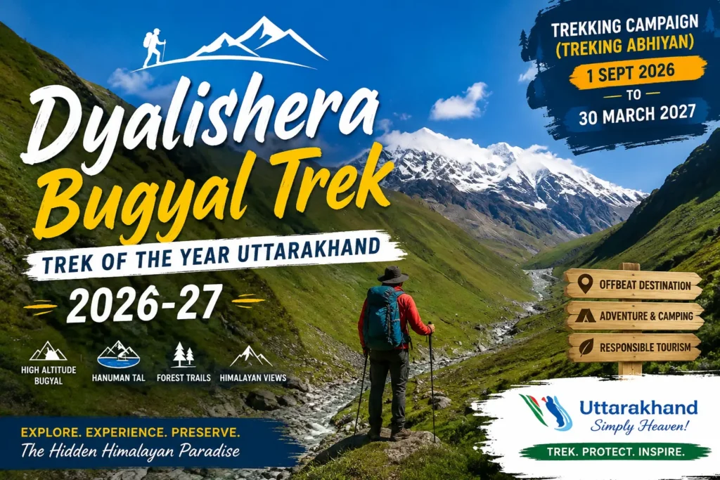
The reported special campaign runs from:
1 September 2026 to 30 March 2027
The tourism department has also announced support for the initial group of trekkers through registered tour operators.
Reports state that the first 300 trekkers can be covered under a ₹2,000-per-trekker subsidy arrangement, with the subsidy provided to the participating registered operator under the scheme rather than simply being a direct cash payment to every trekker.
Because eligibility and implementation can change, travellers should confirm the current terms with the registered operator/UTDB before assuming that a ₹2,000 discount will automatically be deducted from their booking.
Previous Uttarakhand Trek of the Year
Dyalishera is part of Uttarakhand’s continuing effort to promote new and lesser-known trekking destinations.
The state’s Trek of the Year programme has featured different routes in different years.
2024
Uttarakhand Tourism’s official material lists:
- Saru Tal Trek
- Sinla Pass
as the Treks of the Year 2024. The official document also describes different route options and a subsidy arrangement for eligible trekkers.
2025
The 2025 programme included three routes:
- Chinap Valley
- Gulabi Kantha
- Bankatia Glacier
Reports from the time described all three as Trek of the Year routes.
2026
Dyalishera/Dyali Sera has now been promoted as Trek of the Year 2026, with the special campaign extending into March 2027.
The history shows an important pattern: Uttarakhand Tourism has been using the programme to introduce travellers to trekking destinations outside the state’s most established trails.
Dyalishera Trek vs Popular Uttarakhand Treks
Dyalishera is different from a trek such as Kedarkantha or Valley of Flowers mainly because it is still a newly promoted trekking destination.
It is therefore better to compare the experience rather than simply calling one trek better than another.
Feature | Dyalishera | Popular Uttarakhand treks |
Location | Chamoli | Different districts |
Main attraction | High-altitude Bugyal | Depends on trek |
Tourism status | Newly promoted | Established |
Crowd level | Expected to be lower than famous routes, but may increase | Often higher |
Altitude | Approx. 3,600–3,740 m | Varies |
Route | Forests, meadows, valleys | Depends on trek |
Trek duration | Around 6 days for promoted circuit | Varies |
Best for | New-route explorers and Himalayan trekkers | Depends on destination |
Places to Visit Near Dyalishera Trek
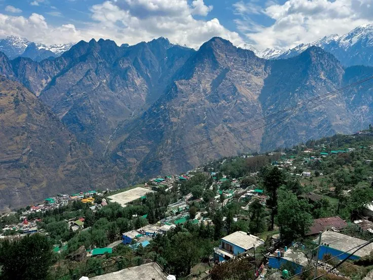
One major advantage of the Dyalishera region is its location around the Joshimath–Auli side of Chamoli.
Depending on your time, you can consider adding:
Joshimath
Joshimath is one of the main gateway towns for the region.
It is useful as a travel base before or after the trek.
Auli
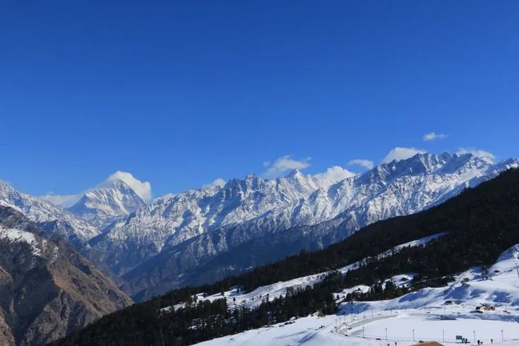
Auli is one of Uttarakhand’s best-known mountain destinations and is connected to the promoted Dyalishera circuit through Gorson Bugyal.
Gorson Bugyal
Gorson Bugyal is another major meadow destination in the Auli region.
Kuari Pass
The final part of the promoted route can connect toward Kuari Pass.
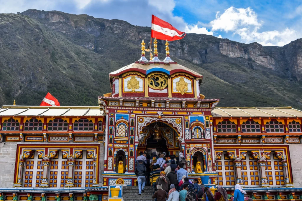
Badrinath
Badrinath is another major destination in the wider Chamoli/Joshimath region.
If adding Badrinath to your trip, check seasonal road and temple information before travelling.
Valley of Flowers
Valley of Flowers National Park is another major attraction in Chamoli.
It is not part of the Dyalishera Trek itself, but can be considered as a separate trip extension depending on the season and your itinerary.
What to Pack for Dyalishera Trek
A high-altitude trek needs proper preparation.
Clothing
- Thermal inner layers
- Fleece jacket
- Warm down/synthetic jacket
- Waterproof jacket
- Trekking pants
- Warm socks
- Gloves
- Woollen cap
- Sun cap
Trekking equipment
- Good trekking shoes
- Trekking poles
- Headlamp
- Backpack
- Rain cover
- Water bottles
- Sunglasses
- Sunscreen
- Personal first-aid kit
Personal essentials
- ID proof
- Required permits/documents
- Personal medicines
- Power bank
- Toiletries
- Small towel
- Reusable water bottle
- High-energy snacks
For winter
If travelling during snow season, ask your operator whether you need:
- Microspikes
- Gaiters
- Extra insulation
- Snow gloves
- Heavy winter layers
Do not assume the same packing list works throughout the year.
Is Dyalishera Trek Safe?
No Himalayan trek can be called completely risk-free.
The main things to consider are:
- High altitude
- Sudden weather changes
- Snow in winter
- Slippery trails
- Mountain roads
- Limited medical facilities
- Communication gaps
- Physical fatigue
The best approach is to trek with an experienced and properly registered local operator/guide, follow the route plan and avoid travelling alone on an unfamiliar high-altitude trail.
If you develop symptoms that may indicate altitude illness, tell your guide immediately and follow the group’s safety procedure.
Dyalishera Trek: Responsible Travel
The new popularity of Dyalishera also creates a responsibility.
The region contains fragile Himalayan meadows and forest ecosystems.
As visitor numbers increase, trekkers should:
- Carry reusable water bottles
- Avoid single-use plastic
- Never throw waste on the trail
- Do not pick alpine flowers
- Stay on established trails
- Do not disturb wildlife
- Avoid loud music
- Use designated campsites
- Respect local villages
- Follow local forest and tourism rules
- Carry back non-biodegradable waste
The goal should be simple:
Discover Dyalishera without damaging what makes Dyalishera special.
This is particularly important because concerns about waste management and sustainable tourism have previously been raised around Uttarakhand’s Trek of the Year destinations.
Who Should Do the Dyalishera Trek?
Dyalishera can be a good option for people who want:
- A newly promoted Himalayan trek
- High-altitude meadows
- Forest walking
- A quieter mountain experience
- Photography
- Camping
- Himalayan views
- A six-day trekking adventure
- A route around the Joshimath–Auli region
It is less suitable for someone looking for a simple sightseeing trip with no physical walking.
How Many Days Are Needed for Dyalishera?
For the full promoted route, plan approximately 6 days.
For a comfortable trip from a major city such as Delhi, add travel time before and after the trek.
A practical overall plan can therefore be:
Day 1: Delhi/Dehradun/Rishikesh → Joshimath
Day 2: Joshimath/Karchon → Dhurkund
Day 3: Dhurkund → Dyalishera
Day 4: Explore Dyalishera/Hanuman Tal
Day 5: Dyalishera → Gailghar/Tali
Day 6: Tali → Kuari Pass/Gorson → Auli
Day 7: Auli/Joshimath → Rishikesh/Dehradun
Day 8: Return journey
The exact plan depends on your transport arrangements and operator.
Some Important Limks
Available Package Options
We offer different Char Dham tour packages based on your travel preferences.
| Package | Duration |
|---|---|
| Char Dham Yatra Package from Delhi | 11 Nights / 12 Days |
| Char Dham Yatra Package from Haridwar | 09 Nights / 10 Days |
| Do Dham Yatra Tour Package | Kedarnath & Badrinath Tour | 05 Nights / 06 Days |
| Kedarnath Yatra Package | 03 Nights / 04 Days |
| Customized Private Char Dham Tour | As per requirement |
Dyalishera Trek FAQs
1. What is Dyalishera Trek?
Dyalishera Trek is a high-altitude Himalayan trekking route in Chamoli district, Uttarakhand, centred around the scenic Dyalishera Bugyal and the wider Joshimath (Jyotirmath) region.
2. Is Dyalishera Trek the Trek of the Year 2026?
Yes. Dyalishera Trek, also known as Dyali Sera Trek, has been selected as Uttarakhand’s Trek of the Year 2026, bringing greater attention to this emerging trekking destination in Chamoli.
3. Is Dyalishera Trek also called Dyali Sera Trek?
Yes. Dyalishera and Dyali Sera are commonly used spelling variations for the same trekking destination. The name may appear differently across travel websites and local references.
4. Is Dhalishera Trek the same as Dyalishera Trek?
Dhalishera Trek and Dhalishera Bugyal Trek are alternative spellings used online for Dyalishera. For consistency, this guide uses Dyalishera Trek as the primary name.
5. What is the height of Dyalishera Bugyal?
Dyalishera Bugyal is situated at approximately 3,600 metres, while some trek itineraries report a high point of around 3,740 metres (12,270 feet). The exact elevation can vary depending on the route and point being measured.
6. How difficult is the Dyalishera Trek?
The Dyalishera Trek difficulty is generally described as easy to moderate or moderate. Difficulty can vary with weather, trail conditions, altitude, snow and the daily distance covered.
7. How many days is the Dyalishera Trek?
The promoted Dyalishera Trek itinerary is approximately 6 days, covering the high-altitude meadows and connecting trails toward the Kuari Pass, Gorson Bugyal and Auli region.
8. Where does the Dyalishera Trek start?
The currently promoted route starts from Karchon/Karchhon, which is accessed after travelling from Joshimath in Chamoli district.
9. What is the Dyalishera Trek route?
The promoted route follows:
Joshimath → Karchon → Dhurkund → Dubra Valley → Dyalishera Bugyal → Gailghar → Tali → Kuari Pass → Gorson Bugyal → Auli
The exact itinerary and trail sequence may vary by trek operator and local conditions.
10. Is Hanuman Tal near Dyalishera Trek?
Hanuman Tal is one of the natural attractions associated with the Dyalishera trekking area. It adds another scenic point of interest to the Himalayan landscape around the route.
11. When is the Dyalishera Trek 2026–27 campaign?
The special Dyalishera Trek 2026–27 campaign has been reported for 1 September 2026 to 30 March 2027, making this an important season for the newly promoted trekking destination.
12. Is there a subsidy for Dyalishera Trek 2026?
Reports state that a ₹2,000 subsidy per trekker is available for the first 300 trekkers through participating registered tour operators. Travellers should confirm eligibility, availability and current terms before booking.
13. What can you see on the Dyalishera Trek?
The trek features high-altitude meadows, Himalayan mountain views, forest trails, valleys, camping landscapes and natural attractions such as Hanuman Tal. The route also connects with the broader Kuari Pass, Gorson Bugyal and Auli trekking landscape.
14. Why is Dyalishera Trek important for Uttarakhand trekking?
The recognition of Dyalishera Trek as Trek of the Year 2026 is bringing a lesser-known Himalayan route in Chamoli into greater focus. The destination combines alpine meadows, forests, mountain scenery and local trekking experiences while creating opportunities for the development of tourism and local livelihoods.
15. What is Dyalishera Trek also known as?
Dyalishera Trek may also be searched as Dyali Sera Trek, Dhalishera Trek, Dhalishera Bugyal Trek and Dyalishera Bugyal Trek. These variations are useful when searching for route information, itineraries and travel updates.
If you are planning Dyalishera Trek 2026-27, check the latest route, weather, permits, camping arrangements and registered operator details before starting your journey.